Interested in Infrastructure?
Get Infrastructure articles, news and videos right in your inbox! Sign up now.
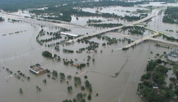
Infrastructure + Get AlertsMost real estate agents will tell you laterals can cause problems for home and business owners, such as blockages, wear and tear, and leaks. But they can also cause trouble for construction and rehab teams if they are left undocumented and unmapped, and they are often major sources of systemwide I&I.
For this reason, some municipalities shoulder the burden of inspecting residential sewer laterals, while others leave it to residents to request lateral inspection.To be successful in these efforts, inspection teams need the right equipment and technology to traverse lateral lines and record inspection data about their location and condition. Without complete and accurate documentation, both property owners and rehab teams could be at risk.
In the digital age, more municipalities are turning to geographic information system (GIS) mapping as a solution for easily accessible lateral information and historical data. And with an effective digital workflow to map out laterals, inspection teams can add wastewater laterals to their regional records, store lateral pipe data in a digital map, and ultimately make that map and data remotely available to engineers and city officials.
Gaining insights from integrations
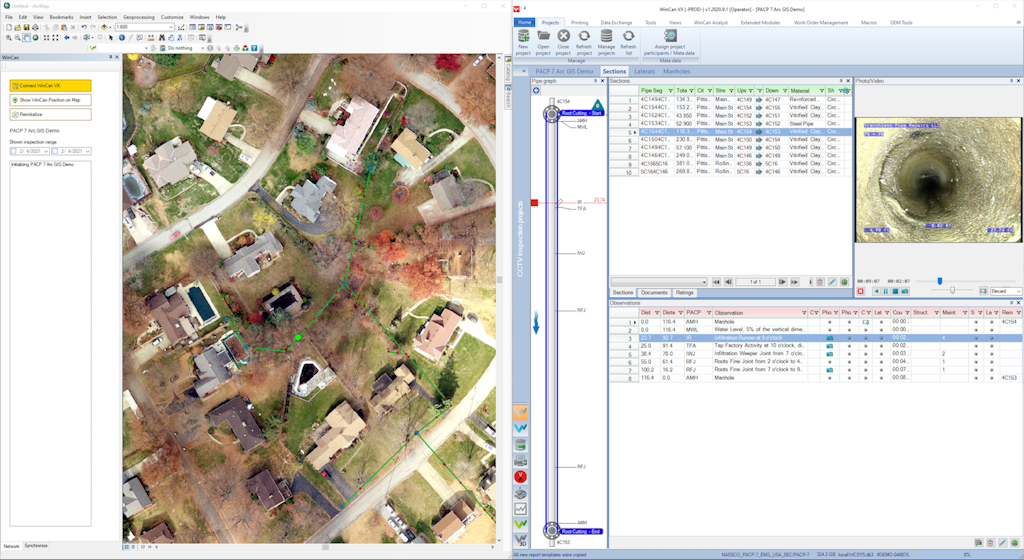
The process of mapping laterals starts with a sewer inspection solution like WinCan and ends with an integrated GIS platform like Esri’s ArcGIS Online. As inspections and analysis are completed, they can be added to citywide asset databases and maps, giving lateral data greater value in the field and in the office. This form of lateral awareness also helps engineers with work order planning and allows all project participants to quickly find lateral data for use in cost estimation for repair or replacement.
Lateral mapping workflows in WinCan
Keeping laterals updated is easier with an integrated digital workflow between WinCan VX and Esri’s ArcGIS Online. WinCan allows you to build work orders, complete NASSCO-certified lateral inspections, manage and analyze data, code inspections internally or via Sewermatics AI, and transfer it seamlessly to Esri’s ArcGIS Pro or Online. WinCan users can even build heat maps, determine at-risk laterals and plan out convenient, cost-effective rehabilitation projects based on the nuanced information available in the map. If your team already has your laterals mapped, use the bidirectional data transfer features to keep your database up-to-date as you re-inspect lines and conduct new maintenance, ensuring data is always as accurate and complete as possible.
Experience WinCan’s mapping integration for yourself by scheduling a free demo:
Visit the WinCan Storefront