Interested in Infrastructure?
Get Infrastructure articles, news and videos right in your inbox! Sign up now.
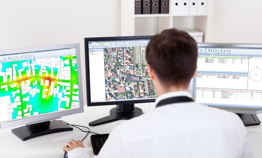
Infrastructure + Get AlertsWinCan VX integrates with Esri’s ArcGIS to enable seamless data transfer from one platform to another. Eliminate manual conversions and data re-entry by exporting WinCan data as a Shapefile — or save time by selecting assets in ArcGIS for instant transfer of section data to WinCan.
Within WinCan Map, quickly understand systemwide condition and identify maintenance needs based on up-to-date asset and inspection data. Pinpoint where urgent attention is needed with a broad selection of analytical tools.
Discover what WinCan VX’s mapping and GIS capabilities can do for your workflow. Request a demo today:
Visit the WinCan Storefront


