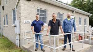
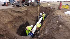
Having complete, accessible mapping data is integral to job site coordination, and it’s often required in the broader analysis of sewer system health. Over the years, WinCan has expanded its mapping features intentionally, ensuring sewer teams are able to navigate their systems with accurate, up-to-date data and visualization. As technology evolves, it’s vital that these mapping capabilities are accessible in the cloud, compiling data from various sources to paint a more vivid picture of what work is getting done where, and the implications of inspection results.
Among WinCan’s most popular cloud mapping capabilities is the integration between WinCan VX and Esri’s ArcGIS, which provides seamless data transfer. Recently, the WinCan Web platform also introduced a variety of convenient mapping features as part of its enterprise solution, giving sewer inspection teams more flexible analysis and project management capabilities.
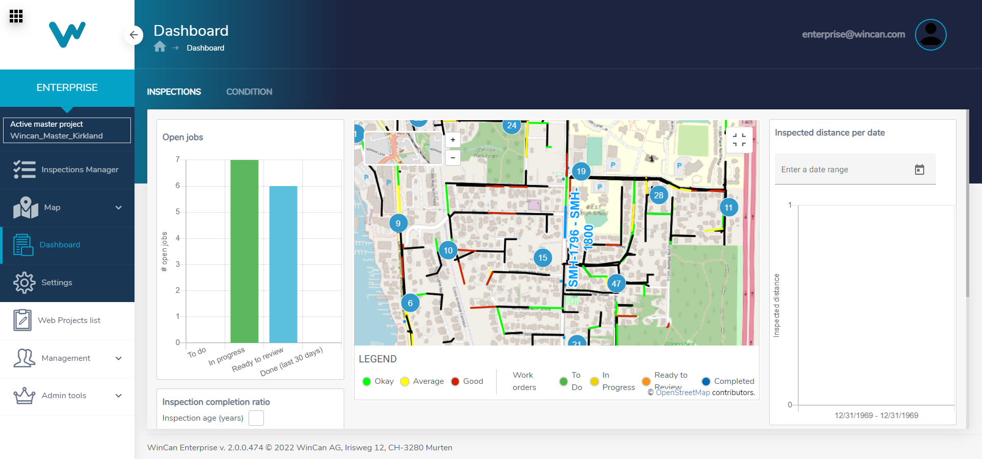
Dashboard map
WinCan Web’s enterprise dashboard is a hub for quick review of condition ratings and job completion metrics. It’s tied together with a detailed map that allows users to zoom into areas of a sewer system to determine what needs attention or gauge how much work is getting done on a given day, week or month. This is a great way for operations managers to oversee broad day-to-day activity, while also having the ability to drill down into the specifics of an inspection.
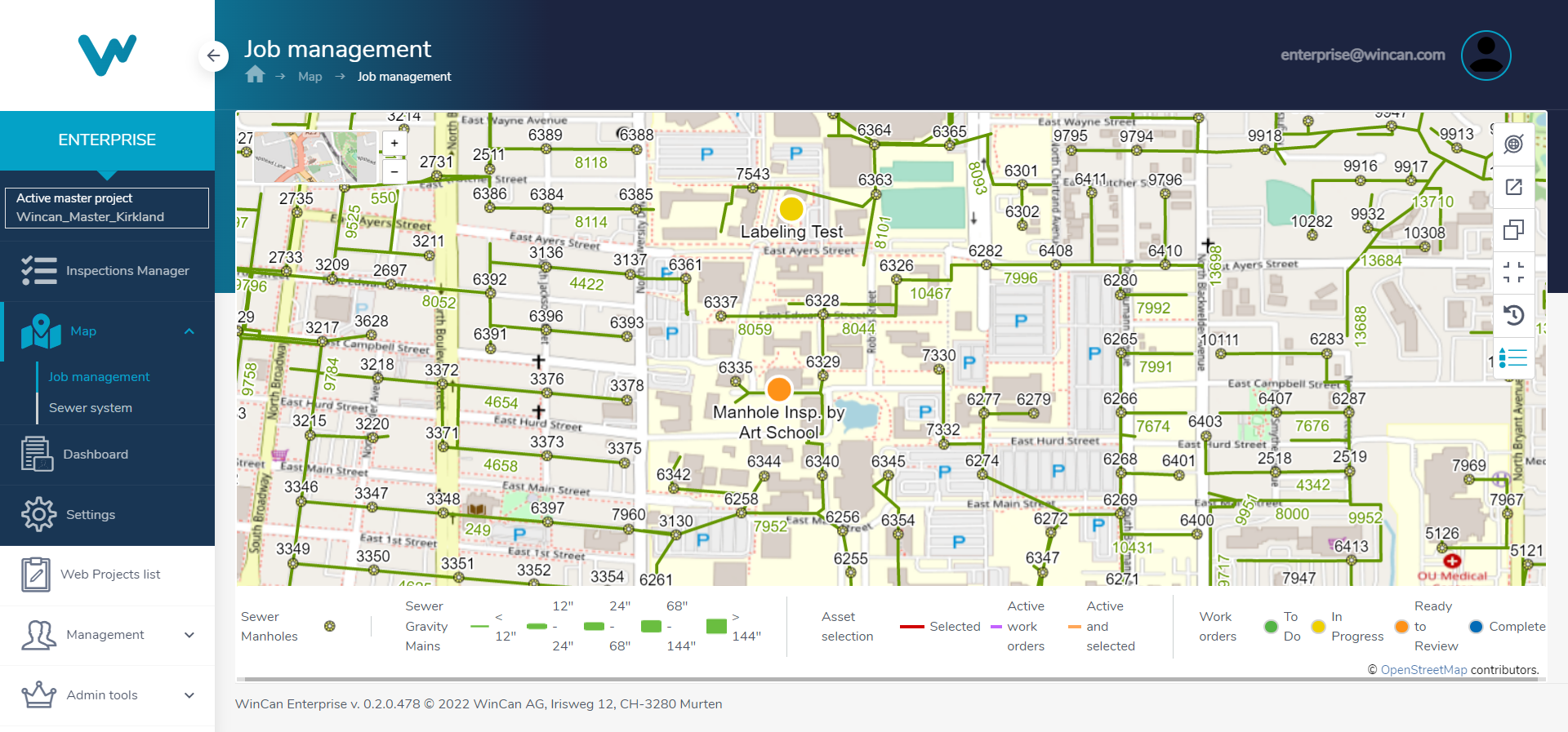
Job map
In addition to the dashboard map, two enterprise maps are available in WinCan Web. The job management map jumps directly to active sections and work orders, giving office teams the freedom to check inspection results and job progress at any time. For instance, users can zoom down to the neighborhood where an emergency inspection is being conducted and quickly identify which lateral connections may be contributing to residential flooding.
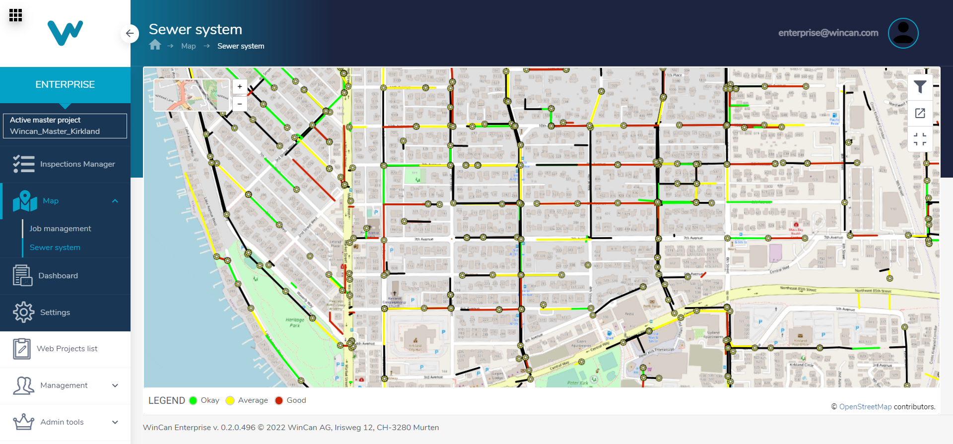
System map
The other essential map available to WinCan Web users is the system map, which lets users explore results of inspections to determine citywide sewer health. These insights shed light on potential maintenance and defect trends, allowing for more informed decision-making on rehabilitation projects.
Esri’s ArcGIS
Esri has long been a standard for GIS operations in municipal wastewater departments, and WinCan offers seamless integration with the platform through WinCan VX. Users can quickly transfer data to and from Esri’s ArcGIS Pro and ArcGIS Online, enabling faster data entry and more reliable GIS analysis. Sewer operators can quickly upload inspection data remotely via WinCan Web, sending it back to the office where the team can conduct QA/QC before uploading it to ArcGIS Online for absorption into a broader asset map.

WinCan’s cloud mapping capabilities empower users to delve deeper into inspection trends and more easily coordinate operators in the field. Learn more about how WinCan can support your inspection team’s mapping needs by scheduling a free demo of WinCan Web: