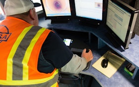
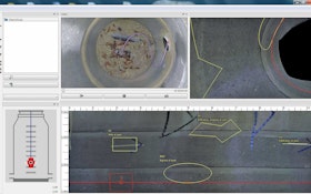
When the Orange Water and Sewer Authority needed software to work seamlessly with its current systems and support its workflow, it turned to WinCan
Standardization through defect catalogs has provided the sewer industry with a rich, universal communication tool
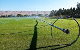
Reclamation and recycling provide new life in drought-prone regions
Augmented and virtual reality technologies are popular in the video game world, but how do they apply to the water and wastewater industry?
With natural disasters on the rise, GIS solutions help cities plan and prepare for emergencies
Browse the latest products exclusively for the municipal sewer and water industry
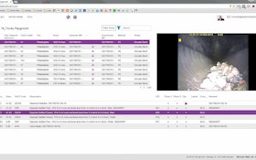
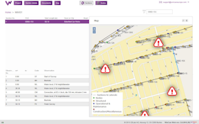
WinCan makes collecting, sharing and reporting cross bore detection data easy with support for lateral-specific observation catalogs and seamless integration of GIS mapping systems