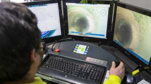
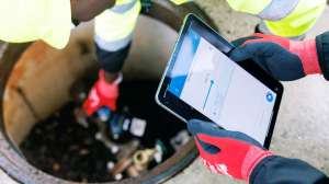
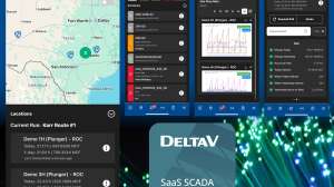
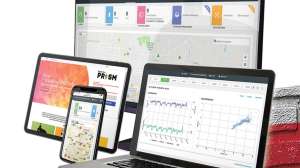
The t4 Underground program from t4 Spatial provides a cloud-based, software-as-a-service solution that makes all wastewater data and related assets searchable, visible and immediately actionable from anywhere, on any device. It enables PACP-compliant sewer inspection videos and data for proactive sewer network analysis, maintenance planning, risk assessment, regulatory compliance and distributed decision-making. It integrates and correlates all past, present and future wastewater inspection videos and data with a wastewater district’s existing GIS and CMMS data, and requires no CAPEX and no in-house IT costs. 805/921-3000; www.t4spatial.com.