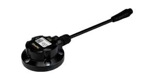
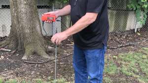
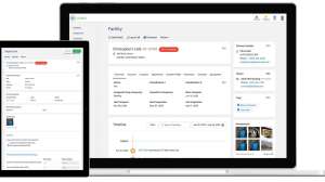
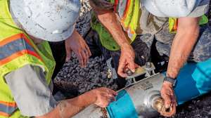
The infraMAP software system from iWater is a GPS-guided mobile GIS solution that allows seamless data collection and updates to a utility’s asset management program. This easy-to-use software is geared toward field crews and doesn’t require GIS experience. It can be used to economically and conveniently monitor water and wastewater infrastructure assets at an optimized level in order to provide greater efficiency returns and customer service benefits. 877/482-5834; www.inframapsoftware.com.