Laser Profiling Equipment
RedZone Robotics Profiler3D
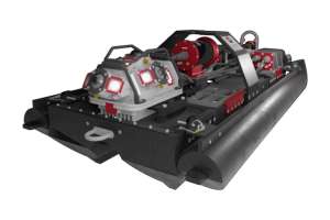
Profiler3D from RedZone Robotics is built on sensor fusion, integrating multiple technologies to capture a complete and accurate representation of large-diameter underground assets. LiDAR and structured light systems generate high-density geometric data, capturing millions of measurement points that define pipe shape and structure. This allows engineers to identify deformation, ovality and subtle changes that would be missed in traditional inspections. To address submerged conditions, sonar is integrated into the system. Acoustic pulses map the pipe below the waterline, capturing inverted conditions, sediment buildup and hidden defects. This ensures full cross-sectional coverage, eliminating one of the most common gaps in inspection data. HD video provides critical visual context, showing material conditions and environmental factors. Through photogrammetry, this visual data becomes measurable, enabling the creation of detailed 3D models and digital twins. 412-476-8980; www.redzone.com
Mapping
RapidView IBAK North America IKAS Evolution
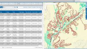
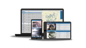
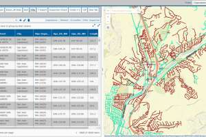
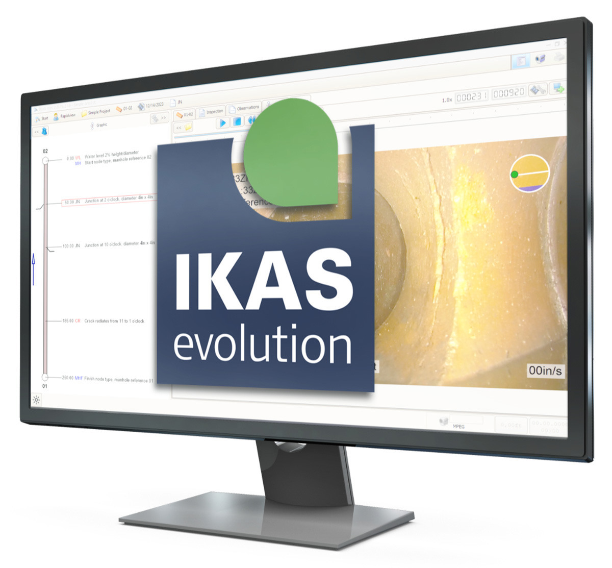
IKAS Evolution from RapidView IBAK North America helps transform a sewer inspection system into a powerful 3D mapping and GIS platform. As you inspect, 3D GeoSense automatically captures precise XYZ coordinates, georeferencing pipe data to existing master records for pinpoint accuracy. Export results in common sewer data formats, view maps directly or generate DXF files for further analysis. With the Map Extension, the sewer network overlays onto real-world maps, delivering full situational awareness. Track camera positions in real-time, clearly identify inspected areas and adjust missing coordinates using built-in CAD tools. The integrated 3D viewer lets you explore any section of the network from any angle. Data sharing is effortless. Export to external GIS systems via multiple supported interfaces, and share results with clients using the free IKAS Evolution Viewer. 800-656-4225; www.rapidview.com
Vivax-Metrotech VM-MAP Utility Mapping App
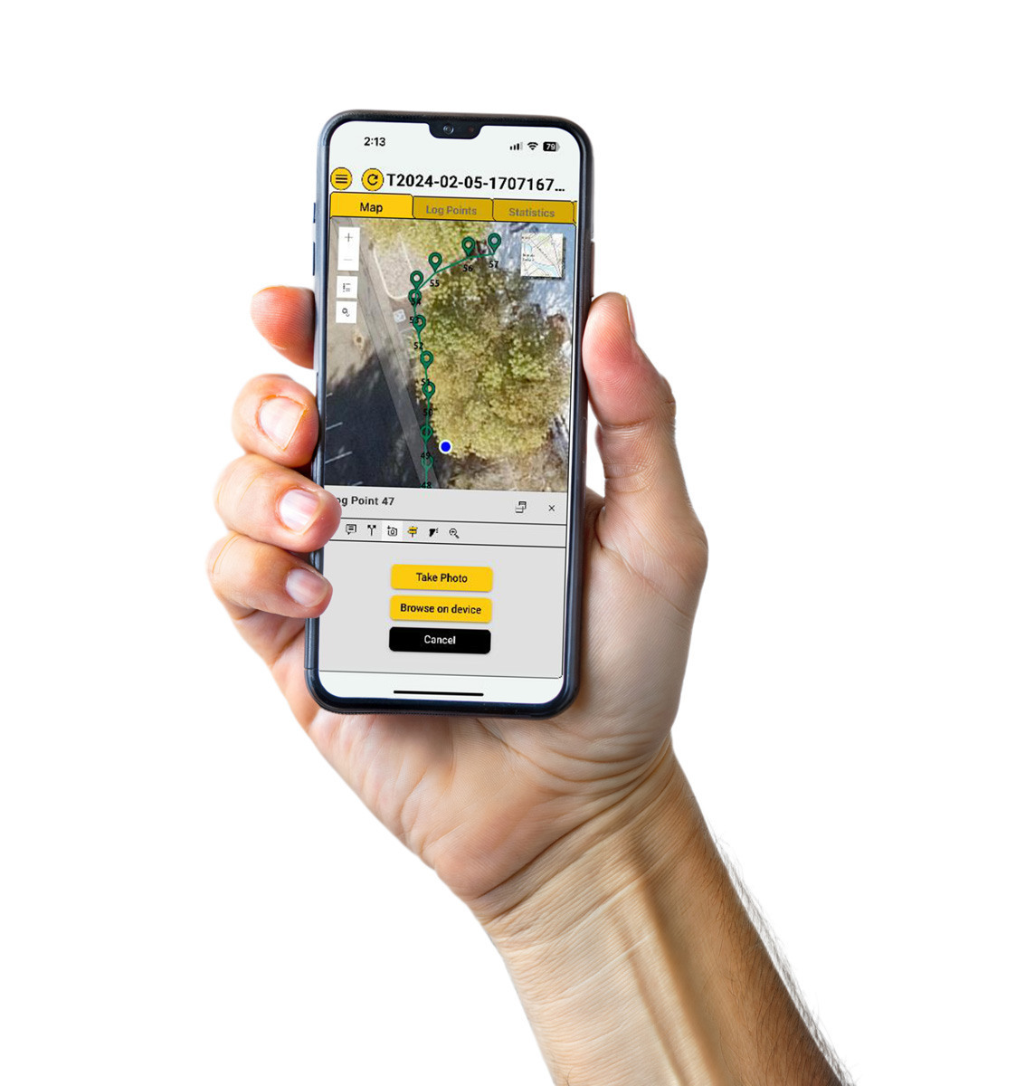
The VMMap Utility Mapping App from Vivax-Metrotech captures field data and makes it immediately accessible online through the VMMap Cloud web portal, or shareable via the app’s email feature. Location information is collected using either the mobile device’s built-in GPS or an external GPS unit of your choice. The app records depth measurements, GPS coordinates, distances between points and other details as data logs, which can be exported in XLS, TXT, SHP and KML formats. It also includes an image capture feature that allows users to attach JPG photos to surveys, making it easy to document points of interest or provide visual confirmation of completed work. With real-time map generation, it gives field technicians confidence that the data they are collecting is accurate and reliable. 800-446-3392; www.vivax-metrotech.com
Software

CUES GraniteNet Triage
GraniteNet’s Triage from CUES is a complementary service that uses AI models to interrogate pipeline videos to find the ticking time bombs hidden in a network, without needing to have people perform tedious video review work. The AI service helps crews efficiently work through large volumes of video to spot high risk pipelines that would otherwise take human reviewers days, weeks or even months to find. The AI automatically scans video footage and identifies the worst issues, enabling crews to prioritize maintenance tasks. It enables asset managers to process thousands of videos quickly, identify only the pipes in the worst condition, act quickly to avert disasters, infer Consequence of Failure to protect the public, and select which pipes need immediate, full coding (PACP, etc.). 800-327-7791; www.cuesinc.com
InfoSense SL-DOG
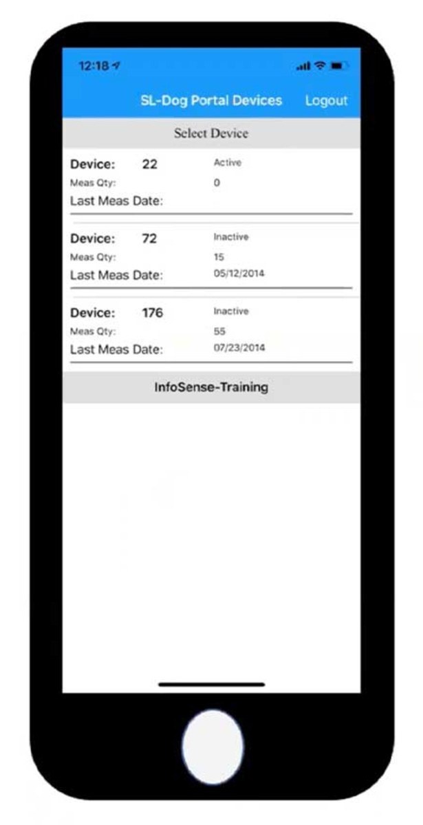
The SL-DOG mobile app from InfoSense is designed to improve how field crews collect and manage acoustic inspection data. The updated app introduces a clean interface and more streamlined workflow for day-to-day use. Crews can quickly log asset IDs, add notes and capture inspection details directly in the field. The app integrates with the broader SL-DOG platform, allowing acoustic data to sync with the web portal for review, quality control and reporting. This ensures that information collected in the field is available for analysis and decision making. Overall, the mobile app is built to make field data collection faster, more consistent and easier to manage, helping utilities turn acoustic inspection data into actionable maintenance decisions. It is available on iOS and Android. 877-747-3245; www.infosense.com

WICKED Product Suite WICKED ANALYZER
The WICKED ANALYZER from the WICKED Product Suite is a comprehensive platform designed to support the full life cycle of underground infrastructure management by leveraging historic data, intelligent analytics and workflow automation to help organizations plan, track and optimize rehabilitation, repair and inspection operations. It effectively centralizes the management of underground infrastructure assets, allowing for the use of historical inspection data to analyze condition, predict deterioration and recommend rehabilitation or repair actions. It supports complete workflow management for inspections, cleaning, repairs and rehabilitation, allowing crews to tailor assessment criteria to match the organization’s standards. It can generate consistent recommendations for projects, crews and individual assets. It lets crew track expenses associated with inspections, cleaning, repairs and rehabilitation tasks. 561-306-0777; www.simply-wicked.com
Continue reading for free